San Jose, California (USA), April 24, 2025: FlytBase, a global leader in drone autonomy software, has announced a partnership with GEOINN, a Costa Rica-based geospatial solutions provider, to bring advanced drone automation to environmental, infrastructure, and security operations across Central America.
Data
Data
Webinar: From Data Collection to Design: The Power of Drone-Based LiDAR
Date/Time: Wednesday, May 7 at 3:00 PM - 4:00 PM EST
Webinar Description/Abstract: See how drone LiDAR is transforming real-world projects in this behind-the-scenes look at a high-impact scan of Idaho’s Snake River Canyon. Hear how Semblance Solutions partnered with Frontier Precision Unmanned to tackle a 2.3-square-mile aerial LiDAR mission as part of a gondola design project. Learn about the tools, training, and workflows that helped turn this ambitious idea into actionable data in just 17 flights. Frontier Precision Unmanned’s Chris Jackson shares the technology, insights, and support that made it possible. Don’t miss this story of innovation, collaboration, and growth through unmanned solutions.
Speaker:
Webinar: Securing Data at the Tactical Edge for Uncrewed and Autonomous Systems
Date/Time: Wednesday, April 23 at 3:00 PM - 4:00 PM EST
Webinar Description/Abstract: Come gain valuable insight into the world of Zero Trust security measures and the emerging concerns and threats surrounding the security of the data transmitted to, from, and through uncrewed and autonomous platforms.
SpiderOak is a leader in Zero Trust data security solutions based on a pedigree of securing the data transmitted and stored in space on satellites. As threats to data security continue to emerge in uncrewed and autonomous systems, SpiderOak is prepared to solve the challenges and secure data transmitted to, from, and through platforms.
Webinar: Obtaining Network Interoperability for Uninterrupted C2 Connectivity
Date & Time: Wednesday, February 5, 2025, 3:00-4:00 PM ET
Webinar Description/Abstract: There is more to connectivity than meets the eye…or the C2. Truly uninterrupted C2 connectivity is the backbone for achievements like precise data collection, better navigation over difficult terrain and for even business growth. The path to secure that connection is to create a logical connectivity layer that uses all available spectrum. When adding complete network interoperability with smooth handoffs from one network to another, the achievements are within your UAV’s grasp.
Speaker: Roee Kashi
Registration: Registration is free for all attendees
FlytBase and Pix4D Partner to Streamline Drone Data Processing Workflows
San Jose, California (USA), July 22, 2024: FlytBase, the leading drone autonomy software platform, announces a strategic partnership with Pix4D, the leading photogrammetry platform for terrestrial and drone mapping. This integration will enable FlytBase users to seamlessly upload their drone-captured data directly to the online platform PIX4Dcloud, streamlining project management and minimizing manual interventions.
Jerry Hancock, Viasat | Dawn of Autonomy | Episode 27
July is "Global Leaders" month on the Dawn of Autonomy podcast, and we're thrilled to begin with our month sponsor, Viasat, featuring Jerry Hancock, the Director of Aviation Safety Solutions and Cybersecurity. Before joining Viasat, Jerry dedicated 15 years to the Federal Aviation Administration (FAA), contributing to various programs within the National Airspace System and NextGen systems. At Viasat, he supports aviation safety operations and cybersecurity solutions, spanning ground networks and air-to-ground data connectivity across commercial aviation and uncrewed mobility markets. Viasat, a global communications company, is dedicated to connecting everyone and everything.

Event 38 Unmanned Systems Teams Up with AviSight in Selecting Elsight’s BVLOS Connectivity Solution to Achieve Precise Data Collection in its Oil & Gas Pipeline Inspections over Difficult Terrain
Or Yehuda, Israel — June 13, 2024 Leading manufacturer of unmanned aerial vehicles Event 38 and AviSight, a provider of critical infrastructure inspections, announced the use of Elsight’s Halo, an AI-based UAV connectivity solution, to enable beyond the visual-line-of-sight (BVLOS) inspections with precise data collection in extensive oil & gas pipeline inspections over difficult terrain.
Skydio X10 Sets a New Standard for Drone Imaging Technology
What a drone can do is often defined by what a drone can see.
The Skydio X10 is a new drone that pushes the limits of UAV sensors. It captures best-in-class visual data to help infrastructure operators, utility providers, telecom providers, and other enterprise users complete their toughest jobs.
The X10 combines Skydio’s intelligent flight software with a sensor payload that includes ultra-high resolution visual and radiometric thermal cameras.
These sensors put the whole scene into focus and detect details from a distance – capturing the right visual data for a variety of missions.

Embention Releases T28 Dual Tracking Antenna
The T28 is a tracking antenna that enables establishing a long-range communication link between an airborne aircraft and its ground control station.
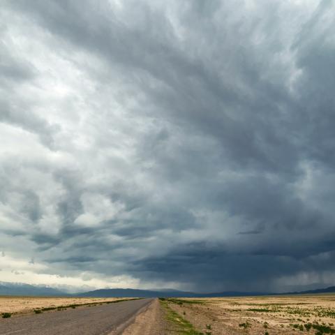
TruWeather Harnesses the Power of Advanced Technology to Keep Advanced Aviation Flying
The drone and advanced air mobility (AAM) industries will not succeed without having significantly more fidelity on low altitude weather. Current equipment, systems and standards do not provide this.