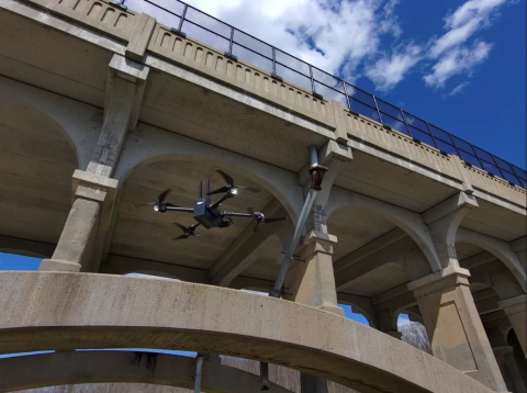
Censys Technologies’ New RetraSpectraTM System to Hunt for Greenhouse Gases
New Exclusive Licensing Agreement Allows Censys to Make Patented System Available
UAS
UAS
Aurora Flight Sciences Announces New Fixed-Wing eVTOL Small UAS
Aurora Flight Sciences Announces New Fixed-Wing eVTOL Small UAS
Aurora Flight Sciences, a Boeing Company, has released its latest small UAS product, the Skiron Expeditionary sUAS, or SKIRON-X. This Group 2 unmanned aircraft system (UAS) combines the simple operation of an electric vertical take-off and landing (eVTOL) configuration with the longer range and endurance of a fixed-wing design. SKIRON-X is a flexible solution for effective deployment across a wide variety of environments.
Skydio Drones Instrumental For First Responders’ Hurricane Ian Relief Efforts
When disaster struck in Florida last month, Skydio was ready to pull from the company’s experience gained from years of working closely with public safety agencies.
Extensive Tech and Personnel Support
Starting September 29th, Skydio offered extended customer support care including an emergency phone line with 24/7 access, free advanced replacement, free access to Skydio academy, free access to Skydio Cloud, and more services.
US Joint Counter-drone Office Selects Top Teams for Installation Protection
US Joint Counter-drone Office Selects Top Teams for Installation Protection
Paladin launches EXT—an LTE module that integrates with DJI M300/M30 for effective BVLOS & DFR applications
Houston TX, 6 October 2022—Following the success of Knighthawk and Watchtower, Paladin is extending LTE capabilities to DJI in an effort to help departments start drone-as-a-first-responder (DFR) programs quicker and more effectively.
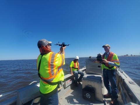
Charles River Success Leads to Additional Navy Funding for Real-Time Ocean Mapping
Following a successful proof of concept, Charles River Analytics was awarded more than $1.1 million by the US Navy to apply computer vision and autonomous robotics capabilities to navigation over the open ocean.
Images of the ocean can be captured by sensors on uncrewed aircraft systems (UASs), which also record data about position, orientation, and field of view. But it is not easy to match the images and data to exact locations and create accurate maps. Unlike ground terrain, the ocean surface lacks reliable landmarks. GPS data is not always available.
Detecting Non-Cooperative Traffic to Enable BVLOS Operations
Date/Time: Wednesday, November 16th at 3:00 – 4:00 pm EDT
TruWeather Solutions Prototypes Urban Weather Sensing Infrastructure
TruWeather Solutions Prototypes Urban Weather Sensing Infrastructure
Phase II NASA SBIR Selected to Enhance Weather Sensing Infrastructure for Urban Advanced Air Mobility Operations
U.S. House passes Drone Infrastructure Inspection Grant Act
On September 13, the U.S. House of Representatives passed H.R. 5315 with bipartisan support.
The vote follows a letter sent to House leadership last week by an industry coalition in support of the bill and urging for a swift vote. AUVSI joined the coalition letter and advocated to Members of the House in support of bill passage.
What it is: